I found this great picture though Google Maps of Northern Las Condes and Vitacura.
I’ve put numbers on various parts of the image, and below you’ll find Street View shots of what’s there, so you can tell what you’re looking at.
Here’s a link to the original.
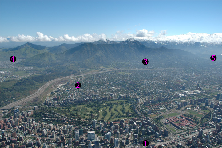
1. Apoquindo — This avenue is the where the financial heart of Santiago is located.

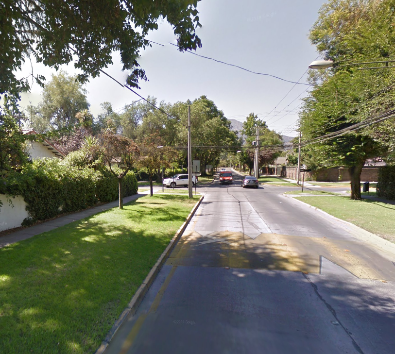
2. Francisco de Aguirre — Classic old-and-wealthy Santiago neighborhood. You can find these in much of Northeastern Santiago.
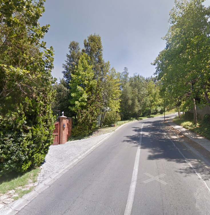
3. Camino el Condor — This is a gated, super-exclusive residential road that’s found on the side of Cerro Manquehue. It’s where the 1% of the 1% live.
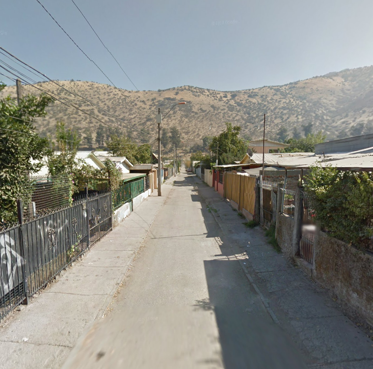
4. Los Paltos — Just over the hill from the wealthy, business-oriented part of town, you have the Huechuraba district, and ‘hoods like this one.
5. La Dehesa — You can’t really see it, but over that ridge there’s a valley that’s being quickly filled with subdivisions. It’s Chile’s Beverly Hills. (Notice how the wealthy like to indulge in trees and other greenery. Such greenery does not come about naturally here. When not tended to, land here ends up looking like the hill in the picture above.)

Remember…. I’m not trying to give you an inflated idea of Santiago, I just found this hard-to-come by picture, and wanted to share it. What you’re seeing is about 1/10 of Santiago, and it’s just about the nicest part.
Leave a Reply